Stanislaus County, California
25,000 acres of what comes next
Secure, isolated and able to run 100% green, within about 25 miles of Silicon Valley.
Copper Canyon · next to Diablo Grande
25,000 acres · Stanislaus County, California
Loading the globe…
Stanislaus County, California
Secure, isolated and able to run 100% green, within about 25 miles of Silicon Valley.
25,000 acres · Stanislaus County, California
Imagery: NASA, USGS. Terrain: AWS Open Data. Data: © OpenStreetMap contributors.
The ranch
Rolling hills and open sky of the area, filmed from a drone.
Drone cinematography by Douglas Thron. Video hosted on YouTube. Watch on YouTube
Copper Canyon sits next to an established community with golf and homes. These facts are about that neighbor, not about the land offered here.
400+
homes already built
18
tournament-caliber golf holes, with clubhouse, range and vineyard
2,354
homes planned in its approved Phase 1 (Oak Flat Village)
Built
its sewer connection to the City of Patterson
Source: the Diablo Grande developer’s brochure (2016 Specific Plan Amendment). Nothing beyond its Phase 1 can be built without a full environmental review.
Scroll to fly from orbit down to the property.
San José & Silicon Valley
≈23 mi in a straight line
Drone commute
From San José, the Bay Area and Carmel
Interstate 5
Logistics corridor, ≈6 mi from the site
Crows Landing Airport
Former military airfield with industrial and commercial plans
Illustrative map. Exact boundary to follow with the survey plan.
25,000acres
Near Patterson, in Stanislaus County. Boundary shown is illustrative until the survey arrives.
Energy
A technical study of the surrounding area found it “highly suitable for solar development”.
Prior technical study · 2009–2010
About 124 acres of ground-mounted panels, in two areas.
Planned tie-in to the Turlock Irrigation District 12 kV line; the study records 13 MW of available capacity there.
Two 20 MW stages on a much larger surface suitable for solar.
PG&E 115 kV transmission lines within 4 miles; interconnection through CAISO.
Phase areas are approximate markers placed from the place names in the study, not surveyed footprints and not to scale. The study area is approximate and is not confirmed to match the site outline. Lines: OpenStreetMap.
Since 2010 solar technology has advanced a great deal, lowering costs while raising capacity and efficiency. That could allow an even better use of land like this.
Background from a 2009–2010 study. It is not a current project and does not imply current permits, interconnection rights or contracts; any new development would need an updated study.
Source: “Solar Development Project”, Laurus Corporation and Solar Power Partners, Inc.
Limited access points make it a natural fit for data centers, banks and government.
Nearby transmission lines make large-scale solar possible. A 2009–2010 study sized about 53 MW across two phases.
Water resources close to the site support agriculture and industry.
A former military airfield with plans for industrial or commercial use.
Distribution centers operate along the I-5 corridor next to the property.
Agriculture and microgreens, data centers and solar farms at a scale that is hard to find.
Real aerial imagery (USGS). Conceptual renders and client photos to be added.
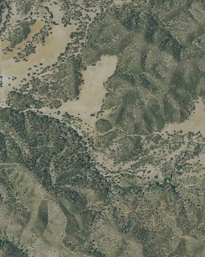 The land
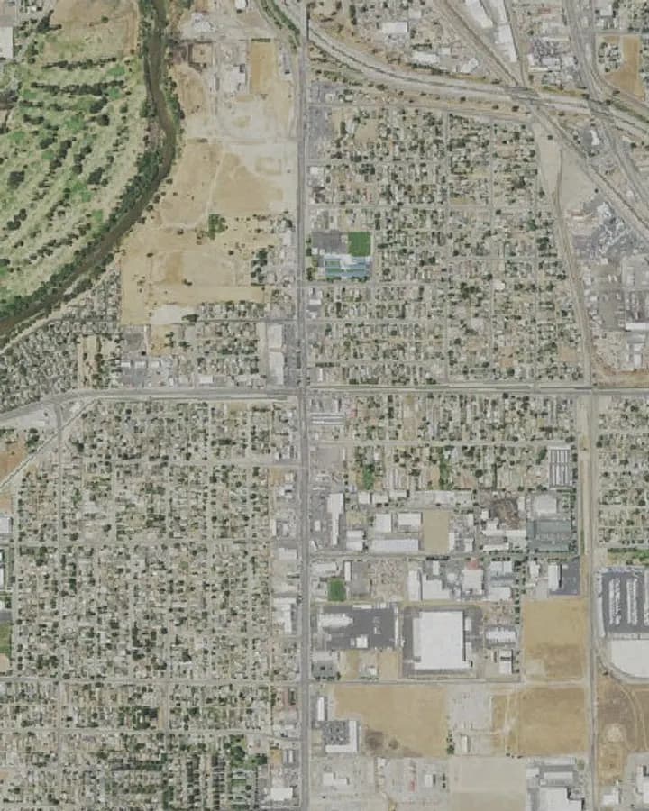 Solar and energy
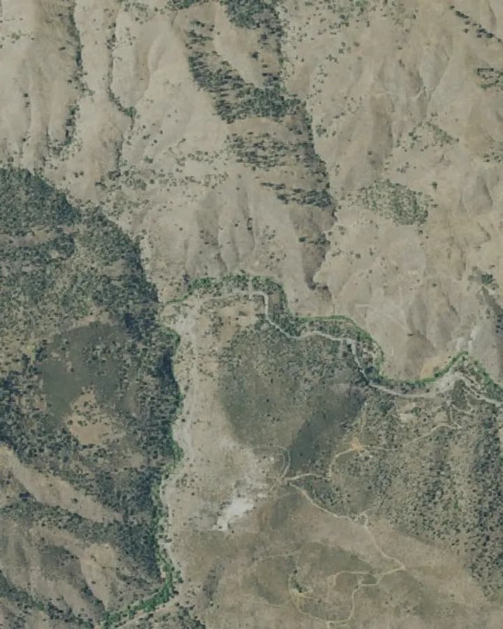 Water and canyon
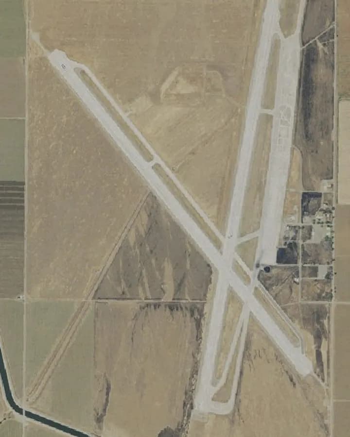 Air access
Write or call a person directly. No forms.
Opens a print-ready version: choose “Save as PDF”.